The Golden Keys project is an advanced gold exploration project in Central Arizona, USA, wholly owned by Golden Keys Exploration LLC (of which Conquest Mining LLC is the managing member). We have conducted two drill programs that identified multiple, shallow dipping gold bearing structures related to detachment faulting. Several high-value gold targets remain untested including a buried intrusive one-mile in diameter associated with gold soil anomalies.
The Property:
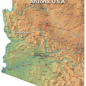
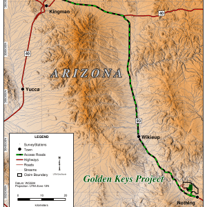
The Golden Keys Gold Project consists of 209 unpatented mining claims on BLM land covering 4,202 acres in Mohave County, Arizona. The project is located 110 miles northwest of Phoenix off US Highway 93 (50 miles northwest of Wickenburg and 80 miles southeast of Kingman). The project area can be accessed from the highway by dirt roads which are maintained by the local rancher.
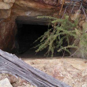
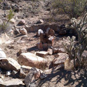
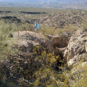
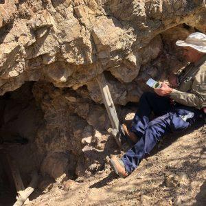
The project is located 8 miles southwest of the Freeport Bagdad Copper mine. Within the Golden Keys claim block are several historical gold mines, the largest being the Golden Key mine which has three levels that are accessible by adit and a shaft. These mines were sampled and mapped by the US Bureau of Mines.
Golden Keys is 100% owned by Golden Keys Exploration LLC. There are no royalties or other encumberments.
Exploration program summary:
The initial claims were staked in 2016 and we expanded the property in 2017 and 2018. There was little exploration on the property prior to GKE staking the initial claims.
Exploration work at the project includes two drill programs (RC and core), soil sampling, rock sampling, microscope and metallurgical studies, ground magnetic surveys, an IP survey, and geological mapping:
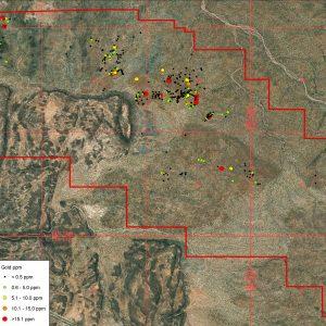
- 644 soil samples using the mobile metal ions (MMI) partial extraction geochemistry.
- MMI soil survey identified two large gold soil anomalies (with values up to 250x background)
- 626 rock chip samples with an average gold value of 2 ppm.
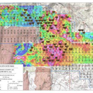
- Ground magnetic survey covering 7.6 km2 which identified a large intrusive structure in the center of the property, linear structures co-incident with some of the gold soils, and shear zone structures.
- A large, buried intrusive was identified by the ground magnetic survey which has related gold soil anomalies.
- IP Survey covering 2.64 km2. IP chargeability anomalies correlate well with alteration and veining from core samples. Drill Hole GK16 used chargeability anomalies to successfully locate gold bearing sheeted structures.
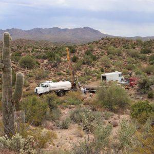
- 12-hole (1,438 m) RC drill program. Best intercept 7.5 meters of 1.2 g/t from surface. 7 of 12 holes contain geochemically significant results.
- 4-hole (622 m) core drilling program. The two deepest holes both intersected the same shallow dipping structures from RC program. Grades varied from 0.25 g/t to 0.5 g/t over 1-3 meters.
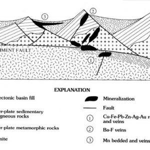
- Identified a series of parallel, gold bearing sheeted structures (1,000 m x 1,500 m x 2-3 m) coincident with the soil anomaly and the mapped upper plate rocks of an interpreted detachment fault.
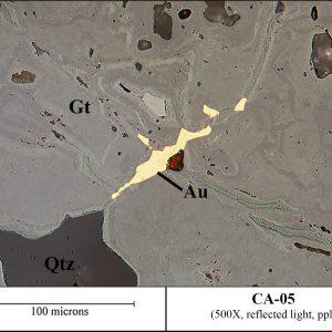
- Microscopic images of gold revealed association with goethite along fractures which should have excellent leaching characteristics.
Exploration is continuing on the property. We are currently working on metallurgical tests to assess the potential of in-situ recovery (ISR) mining methods which may be the best mining method for the detachment fault related structures. Sampling, mapping and a follow-on drilling program are in the planning stages.
Technical Reports and Data:
- Three independent geological technical reports written by Mark Osterberg, Phd. and Thomas Bidgood, Phd. from Mine Mappers LLC. (January 2018, September 2018, and January 2020)
- Exploration review, geological map, and mapping report by a well-known international geological consulting firm (May 2019).
- Microscopic gold characterization report by Rodney Johnson, Phd. (January 2020)
- Ground Magnetic Survey Interpretation Report by SJ Geophysics of Vancouver, BC (November 2018)
- Results from 3D Induced Polarization Survey (3DIP) that includes a technical report and 3D model from SJ Geophysics (May 2019)
Project Highlights:
- Large land position with expansion ability
- Geophysics identified buried intrusive 1 mile in diameter associated with gold soil anomalies.
- Bulk tonnage gold mining potential
- High grade vein systems and existing underground mines
- Good access with year-round mining and exploration
- Good metallurgy, <50 micron gold, oxidized, along fractures and in porous rock (see photo)
- Potential for ISR mining – low operating costs and CAPEX
- Low holding costs, no royalties
- Arizona is ranked as the 8th best place in the world for mining investments by the Fraser Institute (2018).
- Favorable permitting environment.
Contact: Jeff Janda, President, Golden Keys Exploration
858-752-8503, jeff@gkexploration.com
Robert Epps, COO/CFO, Golden Keys Exploration
361-249-7750, repps@cimarronres.com
Slide presentation available upon request
Access to technical reports and data upon signing CA

